AgroBH Logo
HOME
ABOUT
DATA SECTION
AGRO CAREERS
CONTACT
AgroBH Logo
Support Agriculture
Promote Agriculture
Invest in Agriculture

Know More

  • Privacy Policy
  • Our Brand
  • Accessibility
  • Sitemap

Contact Us

info@agro.bh
Manama, Bahrain
NIAD Logo
Powered by
The National Initiative for Agricultural Development

©Copyright 2026 by AgroBH

Your Title Here
Aerial Surveyor
Career Spotlight

Aerial Surveyor

Mapping using aerial platforms for faster, smarter decisions.

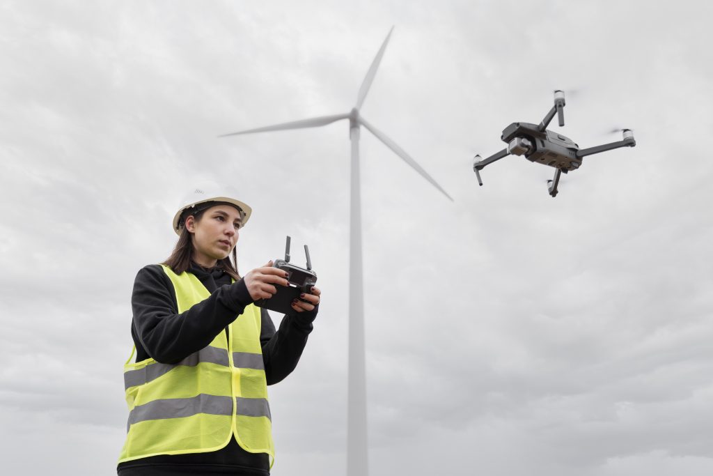
Aerial Surveyors use drones and aircraft to capture high-resolution imagery and lidar. They produce terrain models, crop assessments, and infrastructure maps quickly. Their work improves water planning, farm layout, and environmental monitoring in arid climates.


Job Responsibilities

  • ●Plan: Design safe flight paths and data coverage.
  • ●Collect: Capture imagery, lidar, or multispectral data.
  • ●Process: Generate stitched, geo-corrected maps and digital elevation models.
  • ●Verify: Apply ground control and accuracy checks.
  • ●Deliver: Provide GIS layers and actionable reports.

Technical Skills

  • Operating Unmanned Aircraft Systems
  • Sensor payload setup
  • Lidar and imagery processing
  • Ground control techniques
  • GIS data management

Professional Skills

  • Attention to Detail
  • Communication
  • Problem-Solving
  • Organization
  • Adaptability

Industry Knowledge

  • Aviation safety rules
  • Survey accuracy standards
  • Precision agriculture mapping
  • Flood and drainage studies
  • Construction monitoring workflows
HOME/AGROCAREERS/SCIENCE PATHWAY/AERIAL SURVEYOR